

Map selection#
Some chart provider allow embedding their charts in commercial web sites such as Air Navigation Manager.
We offer you the possibility to add to your web editors some charts offered by third parties.
Some of those charts are also available to be added to your organisation products from our store and used in the app.
With this feature you could see the same charts as your pilots!
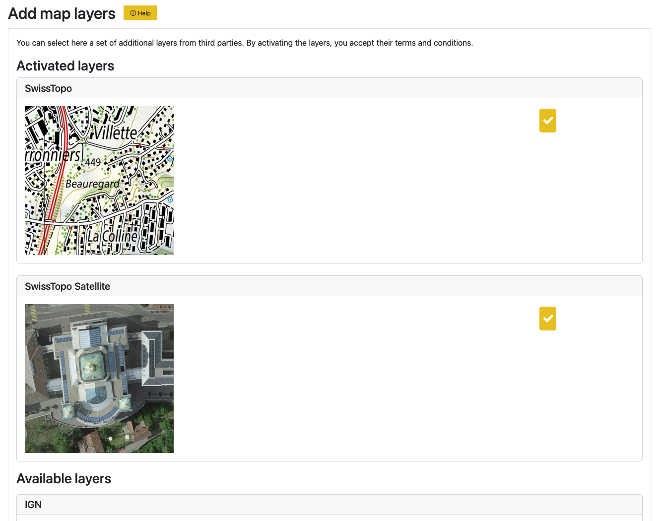
Usage#
Select additional charts by clicking on the checkbox. The page reloads and the selected charts appear at the top.
Navigate to any other editor: waypoints, obstacles, airspaces, all data, and observe the available charts in the map viewers.
To deactivate a selected chart, simply uncheck the box.
Activation#
The last activated chart is the default chart in all maps.
Note
It is expected that some charts do not cover the whole map, as they have usually a limited geographical coverage. It is possible the map appears grey. We recommend you change the OSM or Google base maps to find the area of interest then change to the chart you want. This limitation usually disappears once you add objects to the maps.